


14.6 km | 24 km-effort

User


FREE GPS app for hiking
 SityTrail
IGN / Geographical institutes
SityTrail World
The world is yours!
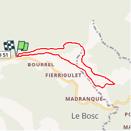
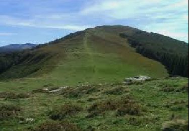
Trail Walking of 6.7 km to be discovered at Occitania, Ariège, Le Bosc. This trail is proposed by tracegps.
Une balade en boucle depuis le Col des Marrous pour monter au Planel en passant par les Gours et en descendant par La Magnangue, la Font Rouge, la Fontaine d'Estats et le col de Blazy.

Walking

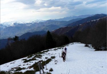
Winter sports
Walking
Walking
Equestrian

Equestrian
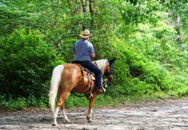
Equestrian
Walking

Très jolie balade, très accessible pour tous, vues dégagées s'alternent avec belles forêts ombragées. À recommander vivement